Best Hikes near Boston: A Local's Guide
From the Blue Hills to a granite quarry on the North Shore, a local's honest map of the trails worth the T fare or the tank of gas.
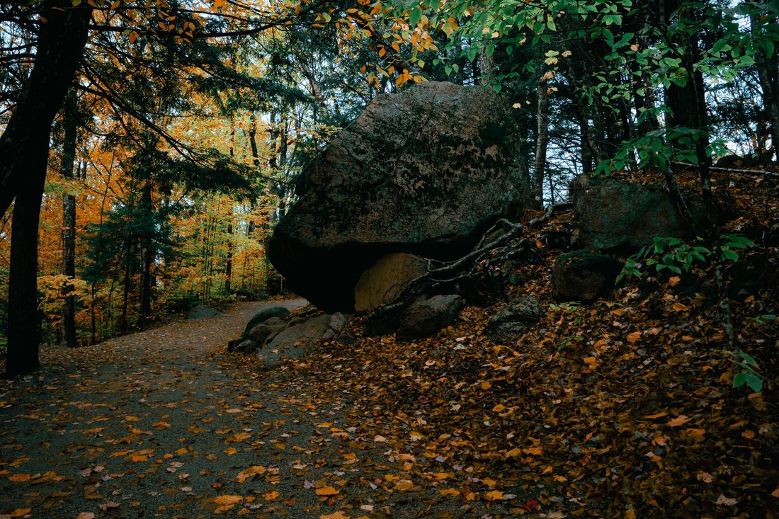
Six-forty on a Tuesday morning in October, and the summit of Great Blue Hill in Milton already has four cars in the lot and a guy in a Bruins hoodie doing sprints up the fire road. From the exposed rock at the top you can see the John Hancock Tower and the harbor islands in one direction and, if the light cooperates, the outline of the White Mountains in the other. All of that is eleven miles from Faneuil Hall. Some of the best hikes near Boston are this close, and anyone who complains there is nowhere real to hike around here has not opened a map.
The truth about hiking here is that most of it does not need a car, a timed parking pass, or a full day off. It needs you to know where the actual public land is, which is a shorter and stranger list than out-of-towners assume, and to treat it like the working forest or four-hundred-year-old cemetery it actually is. This is that list, organized the way a local would actually use it: what is walkable from a T stop, what is a quick drive, and what deserves the whole afternoon.
Best Hikes Near Boston You Can Reach Without a Car
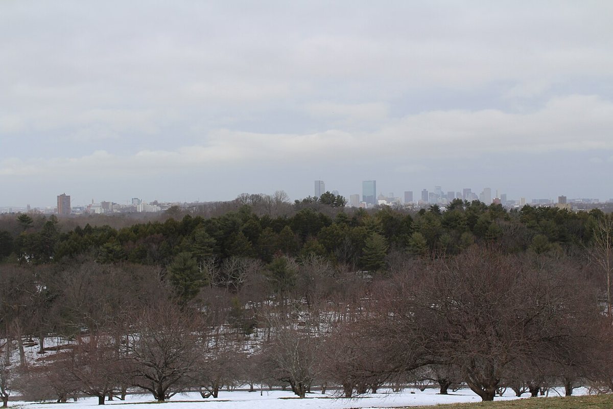
Start with the Arnold Arboretum in Jamaica Plain, because it is the one nobody argues about. It is Harvard's living plant collection, it is free, and it is laid out on rolling drumlin hills that give you a genuine workout without ever feeling remote. The paved and dirt paths wind past Bussey Hill and up to Peters Hill, where the payoff is a wide, mostly unbothered view back toward the skyline that most visitors never bother to find because they stop at the lilacs. Dogs go on leash, bikes stay on the roads, and the place fills up fast on the first warm Saturday in April, so if you want it quiet, go on a gray Tuesday instead. Getting there is the easy part: Orange Line to Forest Hills and you are at the gate, or the 39 bus drops you closer to the Centre Street side.

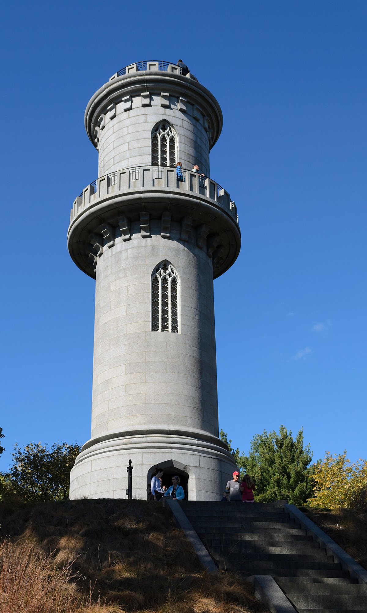
Mount Auburn Cemetery, straddling the Cambridge and Watertown line, is not technically a park and everyone who loves it will tell you that with a little pride. It was the country's first landscaped garden cemetery, built in the 1830s as a place for the living as much as the dead, and it still functions that way: rolling hills, ponds, a stone tower you can climb for a full-circle view of Cambridge and the Charles, and some of the best birding in eastern Massachusetts during spring migration, when serious birders show up before sunrise with scopes on tripods. Nothing here involves scrambling and there is no elevation to speak of, just miles of quiet paved lanes past sweeping monuments and old trees, which makes it the rare hike that works in dress shoes if it has to. No dogs, ever, which the cemetery is strict about and which locals mostly respect. The 71 or 73 bus from Harvard Square gets you to the gate.

The Close Reservations: Where Real Trail Miles Start
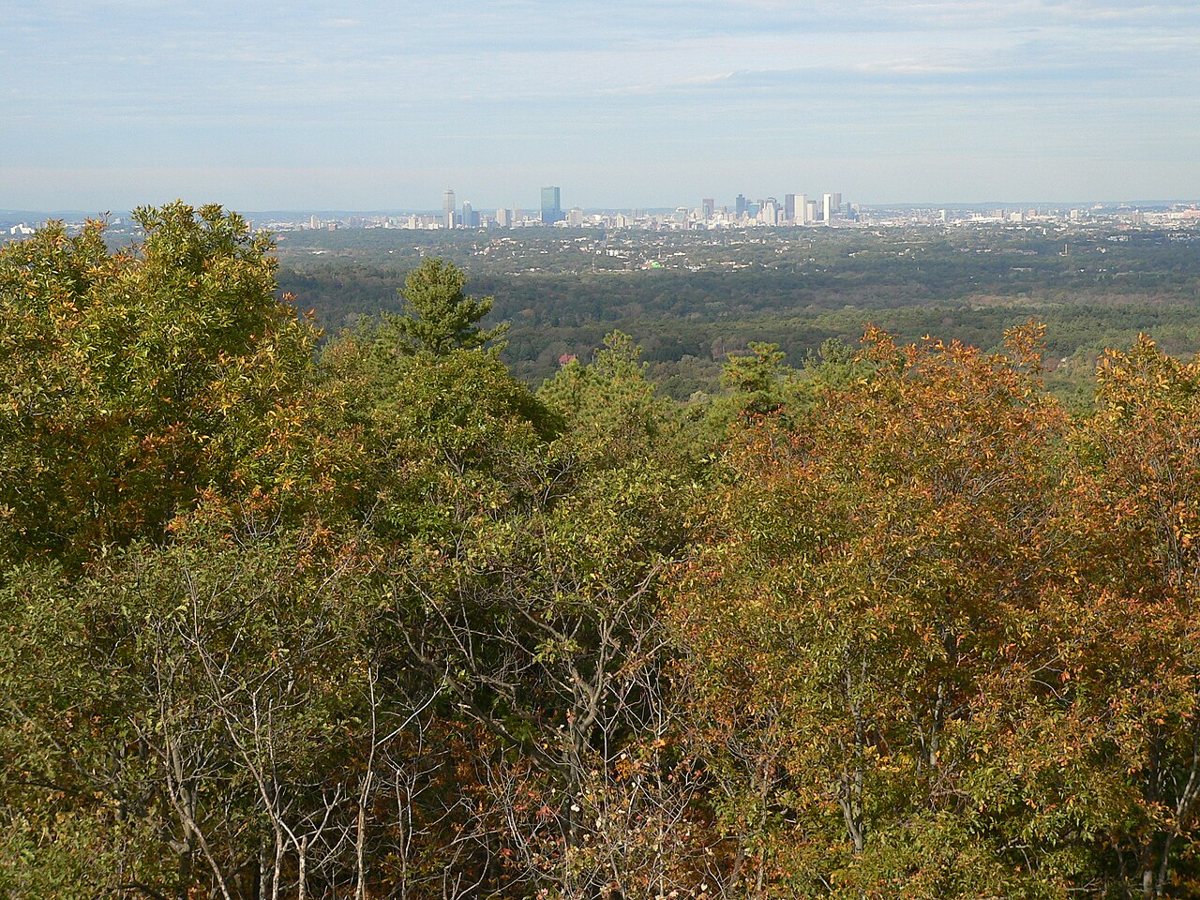
Once you are ready for actual elevation and rock underfoot, the Middlesex Fells Reservation in Medford and Stoneham is the closest thing the city has to a real forest. The Skyline Trail loops over a rocky, root-heavy ridge with repeated short, sharp climbs, more like a chain of small mountains than one long hike, and it stitches together enough ponds and overlooks that you forget you are inside Route 128. Wright's Tower, a stone observation tower near the eastern side, gives you a clean look at the Boston skyline without another soul around most weekdays. Mountain bikers share these trails, so stay alert on the busier loops, and some sections allow dogs off leash under voice control. Reach it by Orange Line to Oak Grove and a short walk, or drive and park at the South Border Road lot instead of the crowded Sheepfold entrance if you want to skip the weekend scrum.
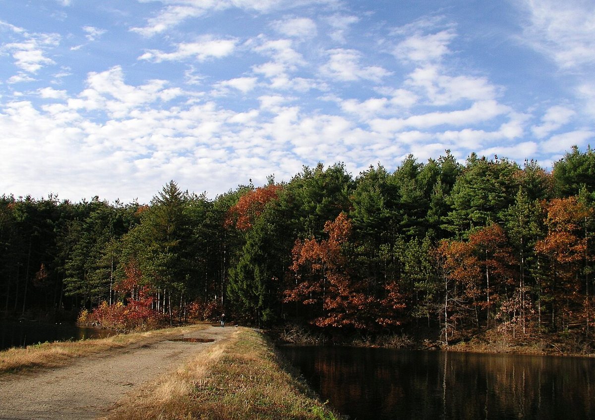

The Blue Hills Reservation in Milton is the one out-of-towners are always surprised exists, a genuine range of wooded hills that happens to sit a short bus ride from Mattapan Square. Great Blue Hill is the highest point, topped by the Eliot Tower and an old weather observatory, and the Skyline Trail connects it to a run of smaller summits with a similar rhythm to the Fells but bigger views, since you are higher and further from downtown noise. This is also, genuinely, home to a small and shy population of timber rattlesnakes, which is less a warning than a fact people like repeating at parties; you are not likely to see one and should leave it alone if you do. Trail runners treat the reservation like a personal gym, so expect company on the main loops. The MBTA's 240 bus from Ashmont or Mattapan gets close, or drive and use the Trailside Museum lot on Route 138 instead of the jammed main entrance near the ski area.

Breakheart Reservation, tucked between Saugus, Wakefield, and Melrose, gets skipped by people who have never heard of it and loved by everyone who has. Two ponds anchor a network of wooded loop trails that are gentler than the Fells or Blue Hills, which makes it a genuinely good place to bring kids or a dog that has never done a real trail before. A supervised swimming area sits on Pearce Lake in summer, and in the off season the loop around the reservoir stays close to empty even on weekends. It is not a transit-friendly spot; the closest commuter rail stop still leaves you with a walk, so this is mostly a car trip, best combined with something else on Route 1 if you are already headed that way.
Out to the Water: World's End, the Harbor Islands, and Walden
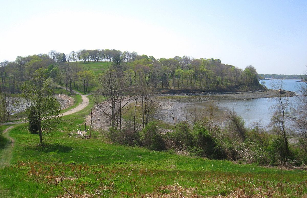
World's End in Hingham is not a hike in the scrambling sense, it is a walk, but it ranks among the quietly spectacular ones in eastern Massachusetts and belongs on this list without apology. The Trustees property was landscaped in the 1890s by the firm that designed Central Park's carriage paths, and those wide, tree-lined lanes still loop over open drumlin hills with unobstructed views of Boston Harbor and the skyline in the distance. It is flat enough for a stroller and scenic enough that people get married here, which tells you something. Non-members should expect the Trustees may charge an admission fee at the gate, worth checking before you go. No direct T service reaches it, so driving is the standard approach, though the seasonal commuter boat to Hingham puts you within a bike ride if you plan around it.

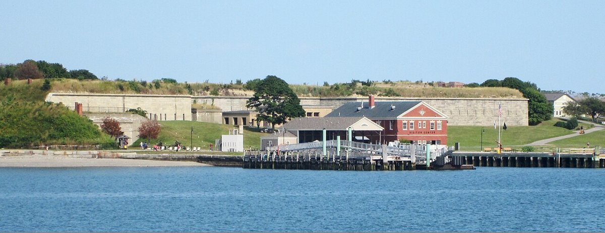
The Boston Harbor Islands turn a hike into a small expedition, which is exactly the appeal. Georges Island has the hulking granite walls of Fort Warren to explore along with its walking paths, while Spectacle Island, built up from Big Dig fill, has a genuinely surprising summit hill with a 360-degree harbor view that first-timers never expect from what used to be a landfill. Ferries run seasonally from Long Wharf, and once you are out there the islands connect by a smaller water taxi, so you can plan a longer day hopping between two or three. Bring your own water and food, since options on the islands are limited, and check the return ferry schedule before you wander too far, because missing the last boat is a real and often-told cautionary story around here.

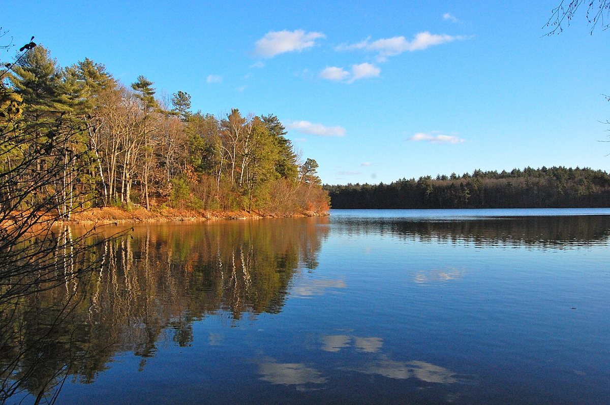
Walden Pond in Concord draws a crowd for the Thoreau connection, but the hiking itself earns the trip independent of the literary pilgrimage. A loop trail circles the pond through pine and oak woods, easy enough that most people finish it well under an hour, with the replica cabin site marked along the way and swimming allowed in the pond itself during warmer months. It gets genuinely crowded on hot weekends, when the parking lot fills early and the state limits entry, so an early morning or a shoulder-season weekday is the smarter visit. Concord is reachable by commuter rail from North Station, followed by a walk or a short bike ride from the depot, which makes this one of the rare out-of-city hikes you can actually do car-free with a little planning.

North Shore Ledges and Sea Air
Halibut Point in Rockport turns a former granite quarry into the most dramatic short walk on the North Shore, and few coastal spots in the state match it for the money. Flat paths lead out through low, wind-bent scrub to open granite ledges above the Atlantic, with the flooded quarry itself, deep green and startlingly clear, sitting just inland from the ocean views. It is an easy walk by any measure, which is precisely why people underrate it; the payoff is entirely about the setting, not the exertion. Halibut Point needs a car for most visitors, though a determined cyclist could make it work from the Rockport commuter rail stop with a longer ride up the cape.
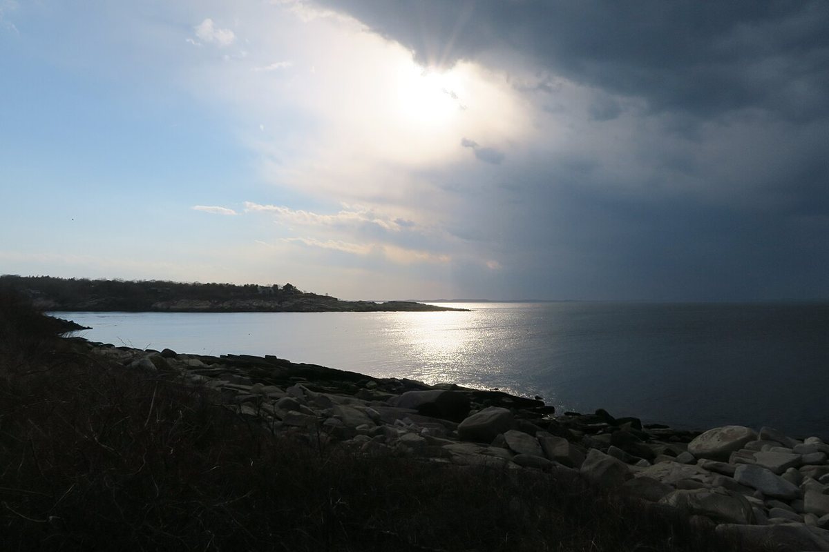

Dogtown in Gloucester is the strange one on this list, and locals tend to either love it or find it unsettling, sometimes both. It is the site of an abandoned 18th-century settlement, now reclaimed by woods, where cellar holes from the original homes still dent the forest floor and a series of Depression-era boulders carved with inspirational phrases like "Never Try Never Win" sit scattered along the trails, a strange public art project nobody fully explains anymore. Trails are poorly marked and easy to lose, cell service drops out in spots, and it is genuinely possible to get turned around here, so bring a real map or a downloaded trail app rather than relying on your phone. It rewards the kind of hiker who likes a place with a little mystery to it. Car access only, from either Gloucester or Rockport.
Worth the Drive: Purgatory Chasm, Wachusett, and Monadnock
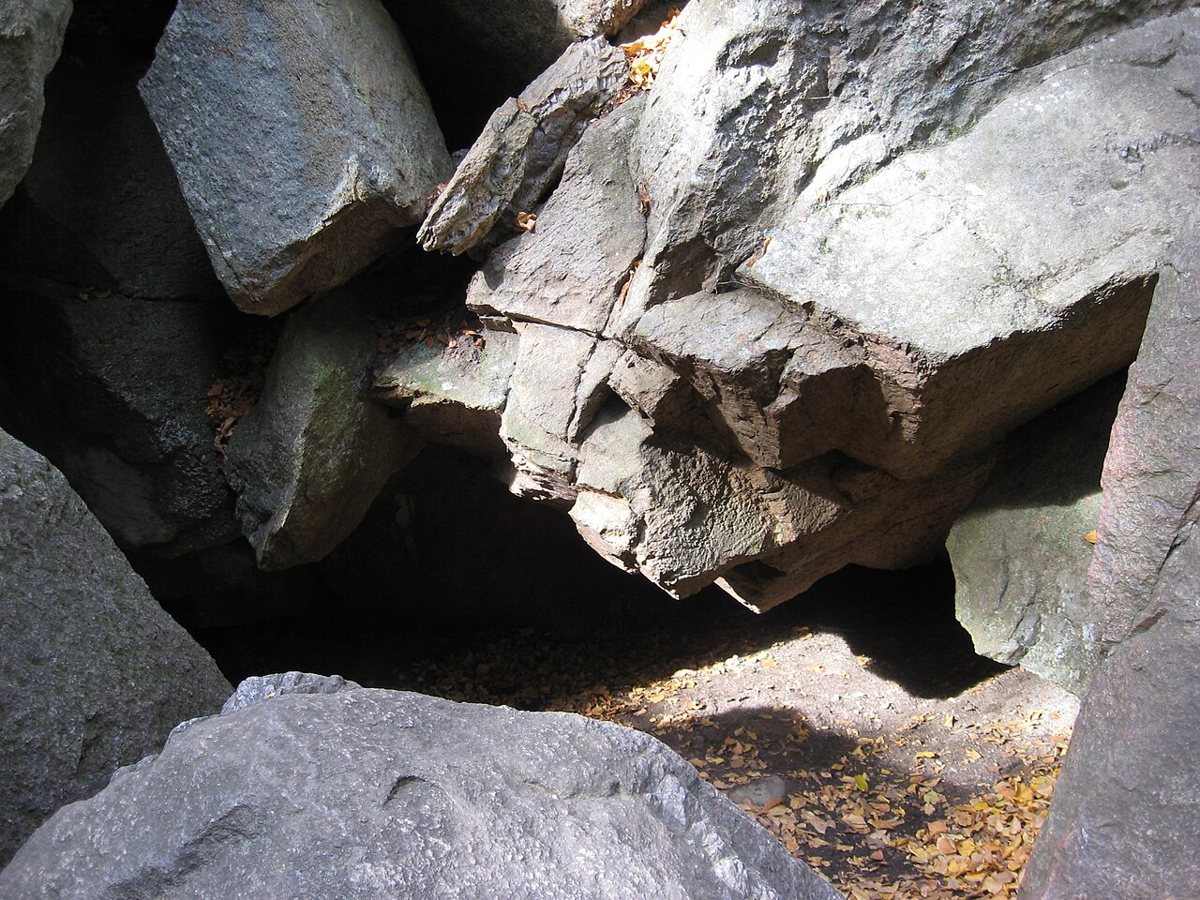
Purgatory Chasm in Sutton is less a trail than a scramble through an actual geological gash in the granite bedrock, with car-sized boulders forming a narrow gorge you climb over, under, and occasionally through. Families do the easier rim trail above the chasm while more adventurous hikers drop down into the crevice itself, picking a route across the rocks that changes depending on who you ask for directions. It is about an hour's drive southwest of the city and makes a solid half-day trip on its own or paired with lunch somewhere in Worcester County on the way back. There is no realistic transit option, so this is a car-only destination.

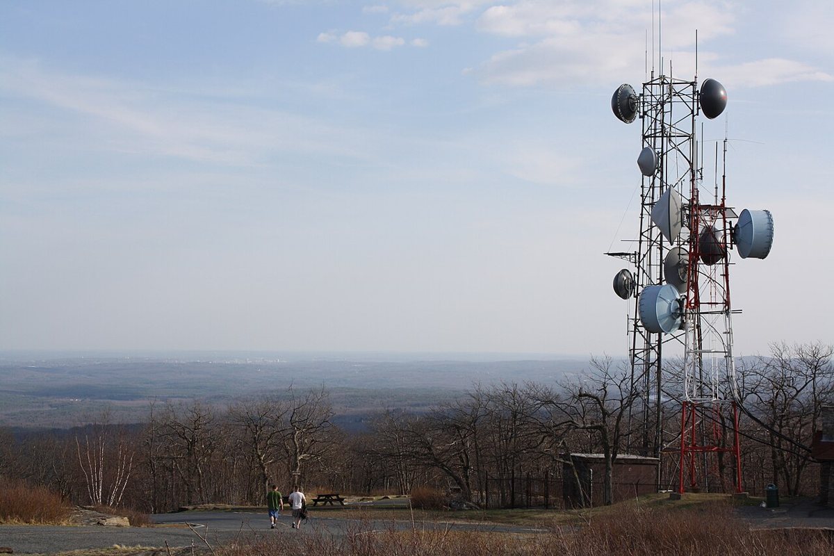
Mount Wachusett in Princeton is the closest thing to a genuine mountain hike within striking distance of Boston, and it earns its reputation every October when the foliage crowds show up in numbers that clog the access road by mid-morning. Several trails climb to the open summit, where a fire tower and old ski area infrastructure share space with a view that stretches to the Boston skyline on a clear day and out to Monadnock in the other direction. Pine Hill Trail is the shortest, most direct route up if you want the view without committing to a full loop. If you are already thinking about making a day of it, Wachusett works well as a day trip out of town even outside foliage season, when the crowds thin out considerably. It is roughly an hour or a bit more from the city, car required.

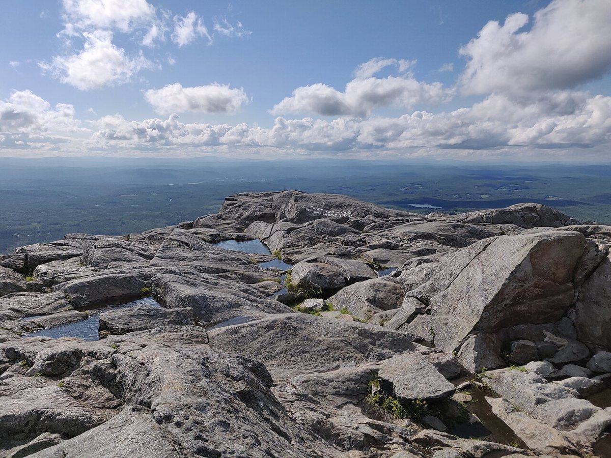
Mount Monadnock, just over the New Hampshire line, is not technically near Boston by any honest measure, but it belongs on this list because so many Bostonians treat it as their default real mountain, and because more people climb it than almost any other peak on earth, for a reason. The White Dot and White Cross trails climb through hardwood forest before breaking out onto open granite above treeline, with a summit view that on a clear day takes in most of southern New Hampshire and a good chunk of Massachusetts. It draws serious crowds on fall weekends, to the point where trailhead parking fills before nine, so an early start is not optional if you want a parking spot. Figure on an hour and a half or so of driving each way, no realistic transit option, and a full day once you account for the climb.

T Versus Car, Timing, and What Actually Costs Money
The honest answer to "do I need a car" is: sometimes, and it is worth knowing which times.
- Transit-reachable without much hassle: the Arnold Arboretum and Mount Auburn Cemetery (both an easy T or bus ride), the Middlesex Fells and Blue Hills (subway or bus plus a short walk), Walden Pond (commuter rail to Concord), and the Boston Harbor Islands (ferry from Long Wharf).
- Car strongly recommended: Breakheart Reservation, World's End, Halibut Point, Dogtown, Purgatory Chasm, Mount Wachusett, and Mount Monadnock.
- Timing matters more than people think: Blue Hills and Walden Pond lots fill early on summer weekends, Wachusett and Monadnock get genuinely packed on fall foliage weekends, and the Fells and Blue Hills are calmest on weekday mornings.
- Cost, in general terms: DCR and state reservation land (the Fells, Blue Hills, Breakheart, Walden, Purgatory Chasm, Wachusett) is typically free to walk, Trustees of Reservations properties like World's End may charge non-members at the gate, and the Harbor Islands ferry has its own fare separate from any park fee. Always check current hours and fees before you go, since both shift by season.
None of this requires a membership or an outfitter or a plan more complicated than checking a tide chart or a foliage report. If you want a broader change of scenery beyond the trails themselves, the North Shore stretch near Halibut Point also connects naturally to a longer day around Rockport and Cape Ann worth building a whole trip around.
Reading the Seasons
The calendar changes these trails more than newcomers expect. Spring brings the birders to Mount Auburn and mud to the Fells, where the rocky sections hold water for days after a thaw. Summer is for the water: Walden and Pearce Lake for swimming, the Harbor Islands for a ferry day, Halibut Point for sea air when the city turns sticky. Fall is the crowded season on the summits, when Wachusett and Monadnock draw lines of cars by mid-morning, and the smart move is a weekday or a dawn start. Winter thins everyone out, and the Blue Hills and the Fells become genuinely quiet, though the exposed ledges ice over and demand traction underfoot. A place that felt overrun in October can feel like a private forest in February, which is one of the better-kept secrets among people who hike here year-round.
The Local's Verdict
People who move here from places with real mountains tend to sneer at the Blue Hills and the Fells for the first year, then quietly become the person who hikes them every weekend once they realize what is actually on offer: real elevation, real rock, real forest, twenty minutes from their apartment, no reservation required. The best hikes near Boston were never hidden. They were just inconvenient enough, and unglamorous enough on a phone screen, that people who will not get in a car or take a bus past their own neighborhood wrote them off. That is their loss, and it means the rest of us get the trailhead parking.